
Compass Rose: What It Is, How to Read It, and Why Maps Still Need One
Look at almost any map, from a pirate treasure chart to the navigation app on a boat, and somewhere on it sits a star-shaped symbol pointing in every direction at once. That symbol is the compass rose, and it has been orienting travelers for more than seven centuries. It looks decorative, and often it is, but every line on it carries meaning. This guide explains how to read one, where the design came from, and why it refuses to go extinct in the age of GPS.
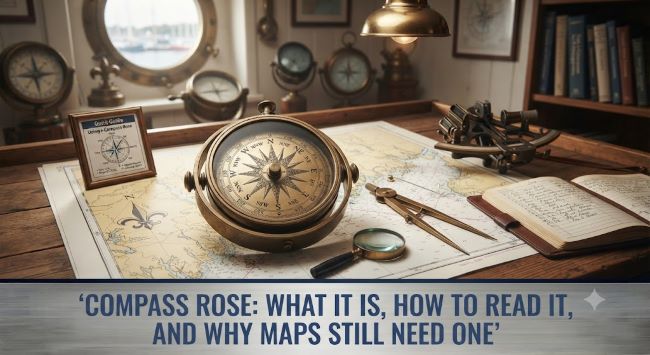
What a Compass Rose Actually Shows
At its simplest, a compass rose is a figure on a map or nautical chart that displays the orientation of the cardinal directions: north, south, east, and west. Most versions go further and split the circle into finer slices:
- 4 cardinal points: N, S, E, W
- 4 intercardinal points: NE, SE, SW, NW
- 8 secondary points: NNE, ENE, ESE, SSE, SSW, WSW, WNW, NNW
- Full 32-point roses: used on traditional nautical charts, dividing the circle into segments of 11.25 degrees each
North almost always gets special treatment. On classic designs it is marked with a fleur-de-lis, a tradition dating back to old Italian charts. East sometimes carries a small cross, pointing toward Jerusalem on medieval European maps.
Modern charts often print two roses in one: an outer ring showing true north, aligned with the geographic North Pole, and an inner ring showing magnetic north, which is where an actual compass needle points. The angle between them is called magnetic declination, and ignoring it has run ships aground.
Where the Design Came From
The compass rose predates the magnetic compass on European charts. Before needles, Mediterranean sailors navigated by winds, and each direction took the name of a wind: Tramontana for north, Levante for east, Ostro for south, Ponente for west. Early versions of the symbol were actually called wind roses for this reason.
The oldest surviving example on a nautical chart appears on the Catalan Atlas of 1375, drawn by the Majorcan cartographer Abraham Cresques. By the age of exploration, Portuguese and Spanish chartmakers had turned the symbol into an art form, painting elaborate 32-point designs in gold, red, and blue. The “rose” name stuck because those ornate points fan out like petals.
Sailors of that era had to memorize all 32 points and recite them in order, a skill called boxing the compass. Naval trainees were still drilled on it well into the twentieth century.
How to Read One in Practice
Reading one takes about thirty seconds to learn and a lifetime to stop appreciating:
- Find north first. Locate the fleur-de-lis, the letter N, or the arrow. Everything else follows from it.
- Check the map’s alignment. North on the symbol is not always the top of the map. Old charts and trail maps rotate freely.
- Read directions as bearings. North is 0 degrees, east is 90, south is 180, west is 270. A heading of 135 degrees means southeast.
- Note true versus magnetic. If the chart shows a double rose, use the inner magnetic ring when steering by a handheld compass, and apply the printed declination if you need true bearings.
That last step matters more than people expect. Magnetic declination varies by location and shifts over time as the magnetic pole wanders. A chart of the US East Coast might show a declination around 13 degrees west, while parts of the West Coast run east. Charts print the declination and its annual change right in the center of the rose.
Where You Still See It Today
GPS did not kill the symbol. It shows up constantly:
- Nautical charts. Paper and electronic charts still carry the full double rose, and maritime training still teaches it.
- Topographic and trail maps. Usually a simplified north arrow with declination noted.
- Aviation. Airport runway numbers come straight from compass bearings, and airfields paint calibration roses on the tarmac for checking aircraft instruments.
- Architecture and public spaces. Plazas, lighthouses, and courthouse floors across the world feature inlaid roses as decoration with function.
- Logos and emblems. NATO’s emblem is a four-pointed compass rose. Outdoor brands and travel companies use the symbol constantly because it signals exploration at a glance.
Compass Rose vs. North Arrow
Modern maps often shrink the whole symbol down to a single arrow labeled N. So what is the difference?
| Feature | Compass Rose | North Arrow |
|---|---|---|
| Directions shown | 4 to 32 | 1 |
| Bearing readings | Yes, in degrees | No |
| Declination info | Often included | Sometimes noted beside it |
| Typical use | Nautical and aviation charts | Street maps, atlases, apps |
The rule of thumb: when precise bearings matter, mapmakers use a full compass rose. When the reader just needs to know which way is up, an arrow does the job.
Drawing One Yourself
Teachers assign this for a reason, since drawing one cements the directions in memory. The quick method: draw a circle, mark four points at 90-degree intervals, and connect them into a four-pointed star. Add a smaller star rotated 45 degrees for the intercardinal points. Label N at the top, then E, S, W clockwise. Kids remember the order with “Never Eat Soggy Waffles.” Extend the design to eight or sixteen points and you begin to understand why Renaissance chartmakers treated the compass rose as a signature piece, the one spot on a chart where accuracy and art met.
Key Takeaways
- A compass rose is a map symbol showing cardinal directions, with versions ranging from 4 points to the traditional 32-point nautical design.
- North is traditionally marked with a fleur-de-lis, and the oldest surviving example appears on the Catalan Atlas of 1375.
- The symbol began as a wind rose, named after Mediterranean winds, before magnetic compasses became standard.
- Nautical charts print a double rose showing both true north and magnetic north, with the declination between them noted in the center.
- Bearings read clockwise from north: 0 degrees north, 90 east, 180 south, 270 west.
- Memorizing all 32 points in order is called boxing the compass, a classic sailor’s drill.
- The symbol survives today on nautical charts, trail maps, airport tarmacs, NATO’s emblem, and countless logos.
- Use a full rose when precise bearings matter; a simple north arrow works when orientation is all the reader needs.